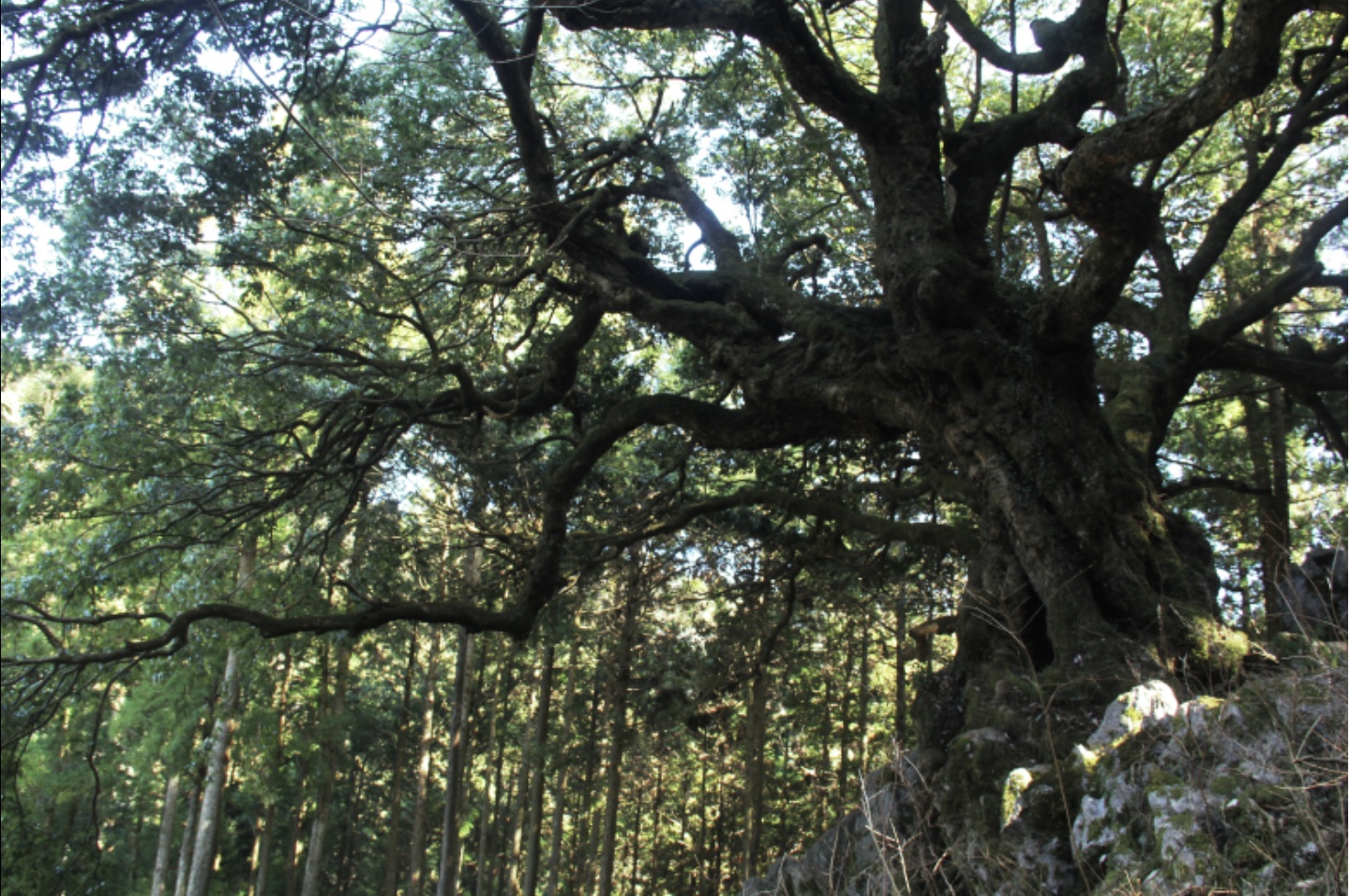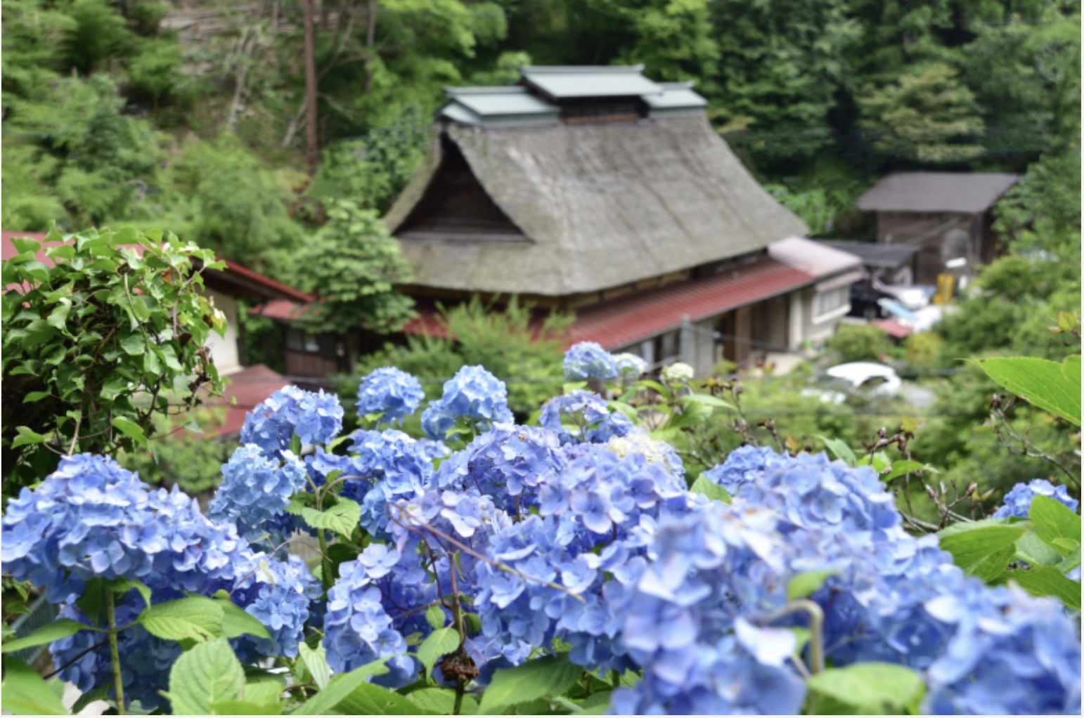
Let me give you a bit more detail about the hiking route from Shiroyama (Tokura Shiroato) to Seoto Hot Spring.
This hiking trail is well-maintained with clear signage indicating the route, making it a reassuring choice even for beginners. However, it’s always possible to get lost, and in such a scenario, unexpected situations could arise.
It’s always better to be safe than sorry, so it’s best to take precautions.
In another article, a guide to Akiruno City is provided including information about hiking trails in the area. The mountains here aren’t too deep, and the trails are fairly decent. Along the way, there are signs indicating the route, so getting lost is unlikely. However, once you’re in the mountains, you can’t rely on Google Maps, so I’d like to provide a bit more detailed route information in case.
Just a quick note before we get into the route information.
Points to keep in mind when hiking up;
If you’re planning to hike, it’s advisable to make some basic preparations:
– It’s better to wear clothing that allows easy movement rather than everyday attire.
– Slip-resistant hiking shoes are recommended for footwear.
– Use a backpack that leaves your hands free.
– Since you’ll sweat, clothing made from materials other than cotton is better.
– Rain gear should include both a waterproof jacket and pants.
– Don’t forget to bring a water bottle or something similar for staying hydrated!
In addition, don’t forget to check the weather forecast before you head out, and of course, it’s a good idea to steer clear of hiking on rainy days. Be extra careful, if it rained the day before. The steep slopes on mountain trails can get pretty slippery, making accidents more likely.
PR
Watch out for bears — make sure everyone has a bear bell with Silencer, Carabiner & Whistle!
PR
Watch out for bears — have bear spray ready just in case!

Point ❶: Start from Musashi Itsukaichi Station
After getting off at Musashi Itsukaichi Station (marked as ❶ on the map) and, let’s hop on any bus from No. 1 Bus Stop except express service in front of the station.
Point ❷: Nishitokura Bus Stop
It’s about a 10-minute ride from the station to Nishitokura Bus Stop (marked as ❷ on the map) .
If you backtrack a bit along the road the bus came from, and turn onto the first uphill road on the mountain side (to your right). As you go up the road a bit, you’ll likely come across a signpost indicating the direction, much like the one in the photo. Follow that arrow and head up towards the mountain.

A little further ahead, at the junction of the road, you’ll find directional signs similar to the ones in the photo. Turn right to proceed even further.


Point ❸ Entrance of the trail for Shiroyama (Tokura Shiroato)
It takes about 30 minutes to walk from the entrance of the trail to Shiroyama (Tokura Shiroato) .
As you ascend the slope along the road, you’ll come across a Torii Gate similar to the one in the photo. This marks the entrance (marked as ❸ on the map) to the mountain trail leading to Shiroyama (Tokura Shiroato).

If you continue along the path to the left of the Torii Gate, you’ll encounter a straight path ahead, but the left-hand side trail is the correct route. You should see arrows like in the photo pointing in that direction.

From here on, it’s just a matter of following the uphill path relentlessly. Along the way, you’ll encounter directional arrows, but since the path is straightforward, you’re unlikely to get lost. The slope is steep, but it’s reinforced with timber, making it easy to walk on. However, be prepared for a continuous ascent as the uphill path persists. Take it at your own pace as you climb.
Point ❹ Shiroyama (Tokura Shiroato)
Near the summit, you’ll come across directional arrows similar to the ones in the photo. First, head left towards Shiroyama (Tokura Shiroato). However, the trail leading downhill towards Seoto Hot Spring is to the right of the arrows, so you’ll be returning here from Shiroyama.

If you follow the arrows and continue climbing, you’ll come across stone walls similar to the ones in the photo. As the name suggests, this area, too, is a remnant of ancient Samurai castle ruins.

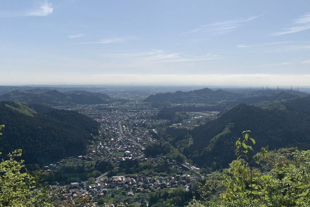
Congratulations! Here’s the view from the summit! (marked as ❹ on the map)
Point ❺ Descending to Jurigi near Seoto Hot Spring
It takes about 40 minutes to walk from Shiroyama (Tokura Shiroato) to Jurigi Bus Stop (marked as ❺ on the map), a bus stop near Seoto Hot Spring.
First, let’s go back to the arrows indicating the junction we saw earlier, and this time, let’s head to the right. All you have to do now is to descend along the path, following the directional arrows along the way.

One thing to watch out for is a fork in the path where you can head towards Jurigi (十里木 in Japanese) or another peak (Nitago Mountain Pass). If you miss it, you’ll end up heading towards a different peak for over an hour.
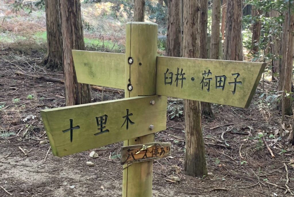
Once you arrive at Jurigi Bus Stop, the mountain trail ends here. Enjoy the beauty of the Akigawa Valley as you make your way to Seoto Hot Spring.
The slope in the background of the photo is the exit road from Shiroyama (Tokura Shiroato).

Point ❻ Break in the foot bath at Seoto Hot Spring
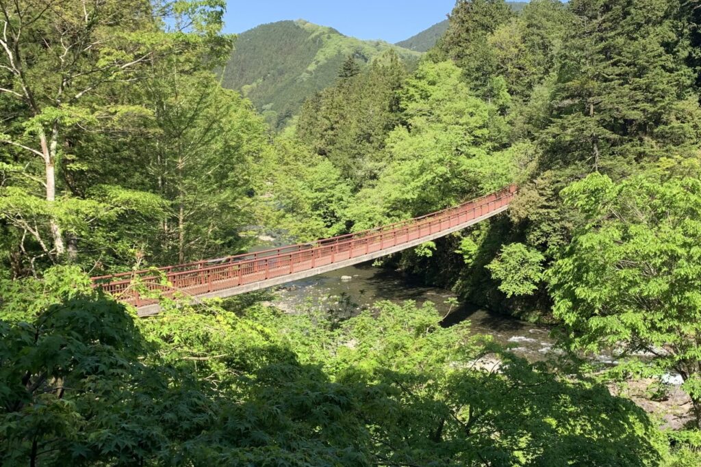
It’s a short distance from Jurigi Bus Stop to Seoto Hot Spring, but let’s take a detour across Ishifune Bridge (marked as ❼ on the map) to admire the Akigawa Valley from above. It’s a place where you can enjoy nature’s beauty throughout the seasons, but the autumn foliage, in particular, is quite popular.
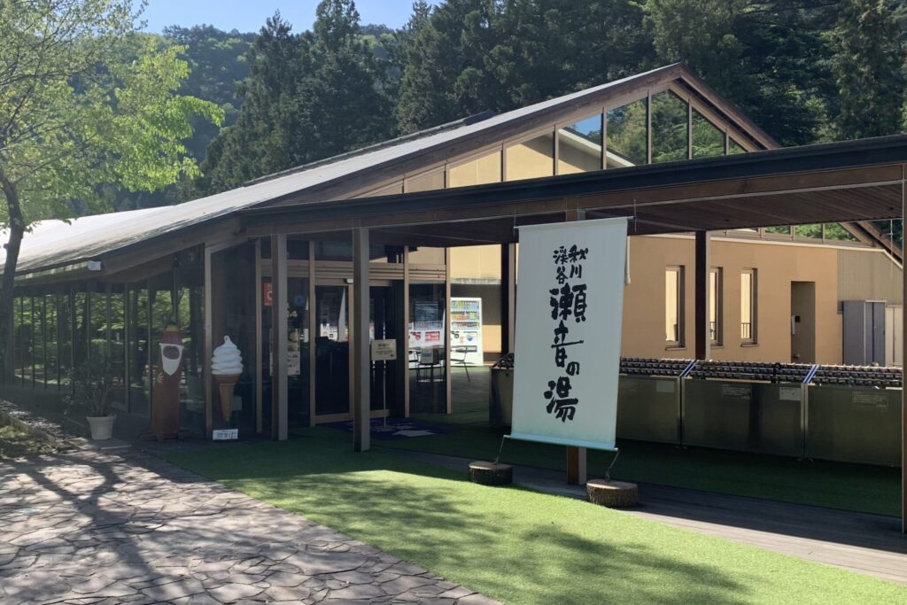
Just after crossing the bridge and passing through the forest along the valley, you’ll find yourself at Seoto Hot Spring (marked as ❻ on the map) . Whether you want to soak in the hot springs to relax your tired muscles or browse souvenirs and local products, it’s all good.
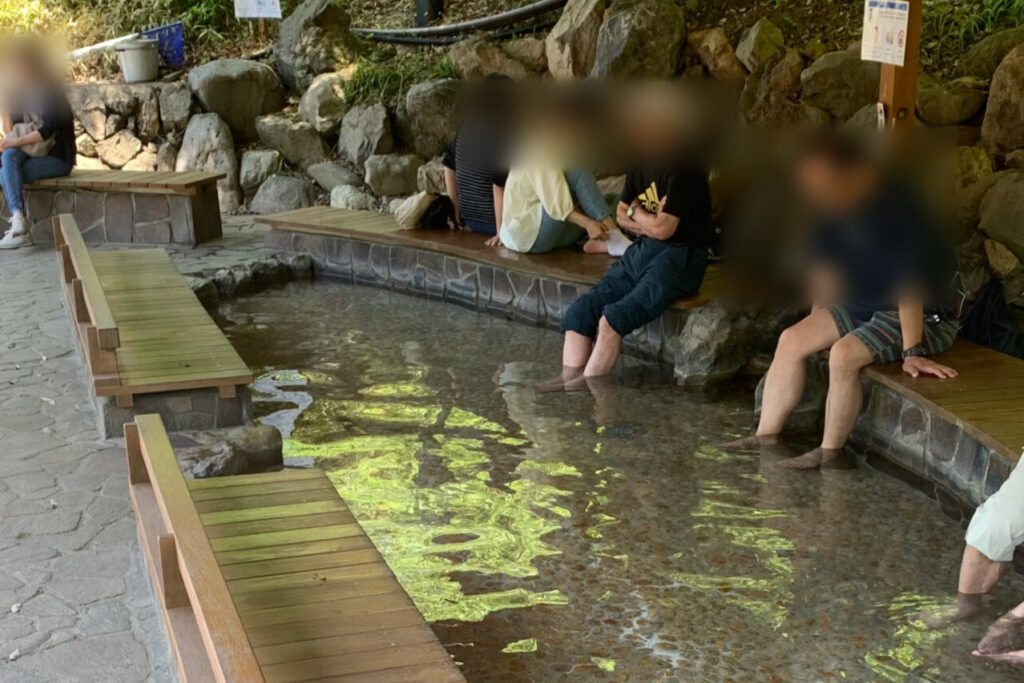
There’s a free foot bath available here. If you don’t soak in the hot springs, it’s highly recommended to give your feet a break in the hot spring.
On the way back, taking the bus back to Musashi Itsukaichi Station is the easiest option. However, since the bus from Seoto Hot Spring operates with a frequency of less than once an hour, if you anticipate waiting for more than ten minutes, it’s best to head to Jurigi Bus Stop (marked as ❺ on the map) instead. Jurigi Bus Stop, located along the river side, is in the right direction of the Musashi Itsukaichi Station.
⇒ If you want to find other hiking trails in the Okutama Area, click here!
PR Your Stay Choice!
If you’d like to stay in a villa surrounded by nature and explore Akiruno with a local guide presented by Wabunka;
PR Your Stay Choice!
Fushi – A Private Gastronomic Retreat in the Lush, Nature-rich Akigawa Valley presented by Wabunka;


