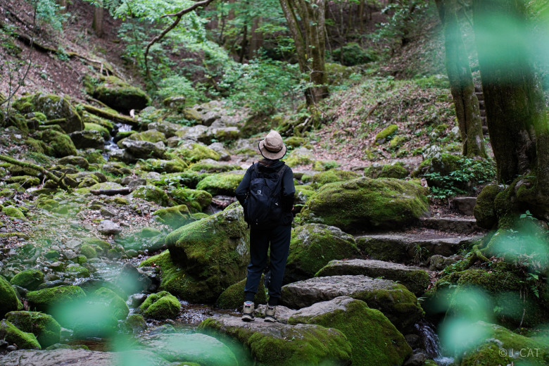
Can you believe it? Just about two hours from the heart of Tokyo, there’s this insanely beautiful,nature-rich spot called Okutama Town.
It’s been a while, but my wild instincts are kicking in, urging me to run through the deep forest, taste the fresh spring water, and hunt prey. No rocky cliffs, steep slopes, or icy rivers can stop me. If you catch a glimpse of my epic form in the forest, make sure to post it somewhere on Insta!
But hey, humans, watch yourselves. If you’re walking through the forests of Okutama, don’t slack on being prepared!
If you visit Tokyo, don’t forget to enjoy the nature of Okutama Town!
Ohtama Walking Trail is one of the best routes. It is based on old paths used by people from the past, but be warned—some parts are pretty challenging, so proper preparation is a must.
It’s about 8.2 km long and takes roughly 3 hours to complete.
Just a quick note before we get into the route information.
Points to keep in mind when hiking up;
If you’re planning to hike, it’s advisable to make some basic preparations:
– It’s better to wear clothing that allows easy movement rather than everyday attire.
– Slip-resistant hiking shoes are recommended for footwear.
– Use a backpack that leaves your hands free.
– Since you’ll sweat, clothing made from materials other than cotton is better.
– Rain gear should include both a waterproof jacket and pants.
– Don’t forget to bring a water bottle or something similar for staying hydrated!
In addition, don’t forget to check the weather forecast before you head out.
Not to freak you out, but lately, there have been reports of wild Bears showing up around here. It is recommended to walk with bear bells, just to be safe.
PR
Watch out for bears — make sure everyone has a bear bell with Silencer, Carabiner & Whistle!
PR
Watch out for bears — have bear spray ready just in case!

❶ Start from Kori Station on the Ome Line
This time, the adventure begins at Kori Station (marked as ❶ on the map) on the Ome Line, heading toward the final stop, Okutama Station (marked as ⓮ on the map).
To get to the Ome Line, you can transfer at Tachikawa Station on the Chuo Line. There are direct trains to Okutama Station, but most trains require a transfer at Ome Station.
It takes about two hours to get from Shinjuku Station to Kori Station.

Go down the road in front of the station, and when you hit the main road, make a right turn. You should see a view like the one in the photo. Keep walking along the main road for a while.
PR Your Stay Choice!
Unwind in Okutama with an Overnight Stay and Tour a 300-Year Old Sake Brewery to Taste Premium Local Sake presented by Wabunka;
❷ Starting of Ohtama Walking Trail
When you see an arrow like this, take the side path that slopes downward. This marks the start of the Ohtama Walking Trail! (marked as ❷ on the map)


❸ A hidden gem in the village, Kiyomi Waterfall
Take a lovely path perfect for enjoying a rural Japanese village, and when you cross the first bridge, be sure to look to your right. You’ll spot a small waterfall, Kiyomi Waterfall, that’s worth a photo. (marked as ❸ on the map)
As you can see in the picture, it looks stunning during the autumn foliage season!
❹ Start of a Mountain Trail
Cross the second bridge, and you’ll finally reach the start of the mountain trail (marked as ❹ on the map).

Right after crossing, look to your right—you’ll spot an iron staircase leading down to the trail.
By the way, there’s a public restroom just before the bridge. You might be pleasantly surprised by how clean it is, especially for a restroom in such a remote location!
If you want to uncover this clean little secret, click here!


❺ Ue no Waterfall, take a little break by the waterfall, perhaps?
Walking along the river path, the trail gradually starts to climb, leading you deeper into the mountains. It turns into a challenging mountain trail, just like you see in the photo.

Following the mountain trail, you’ll come across Ue no (Upper) Waterfall (marked as ❺ on the map). The sight of the fresh water flowing is truly refreshing, and it’s even more charming during the autumn foliage season.
Below this waterfall lies the Shita no (Lower) Waterfall, but unfortunately, it’s not very visible from the trail.
❻ Rest Spot, one-third of the journey is complete!
Once you spot a rest area (marked as ❻ on the map) like the one in the photo, you’ve completed one-third of the journey!
From here, it’s a downhill stretch of paved road for a while.


❼ Turnoff to the next mountain trail
Continue down the path and cross the Unzen Bridge, and you’ll soon reach a junction like the one in the photo. (marked as ❼ on the map)
If you head Left, you’ll start the next mountain trail.
Going right and take the uphill path, you’ll reach Hatonosu Station (marked as ❽ on the map). If you’re feeling tired and don’t want to walk anymore, you can catch a train here and head straight to Okutama Station. Alternatively, getting off at Hatonosu Station and starting your mountain walk from here is also a great option.
❿ Stunning view from the suspension bridge, Hatonosu Kobashi
After you descend from the junction and head along the river, you’ll come across a suspension bridge called Hatonosu Kobashi (marked as ❿ on the map).
This is probably the highlight of the trip. The contrast between the small bridge perched over Hatonosu Valley and the valley below is stunning, especially, when the leaves turn color in the fall. It’s truly the best time to see it.

On the way to the bridge, there’s a café, Poppo (marked as ❾ on the map). It feels a bit out of place, as it seems to pop up unexpectedly in such a location, but if it’s open, you definitely should stop by. Enjoying a coffee while taking in the breathtaking view is an experience you won’t want to miss.
(Closed on Tuesdays and Wednesdays)

The view from the bridge is absolutely stunning. As it gently sways, it almost feels like you’re floating through the air.

PR Real Experience
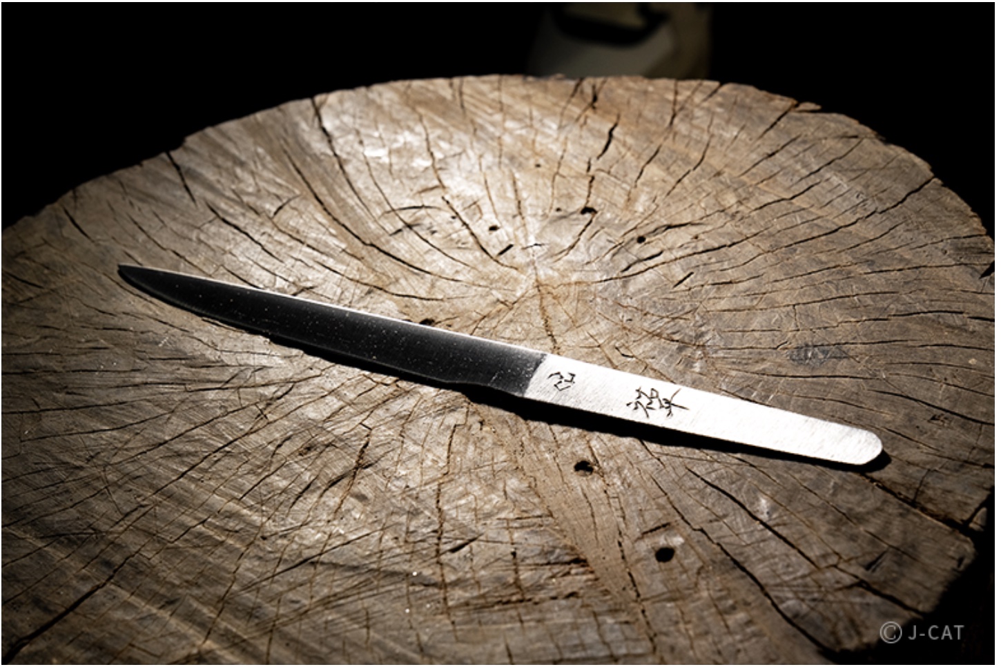
Explore Tokyo’s Rural Okutama Region with an Overnight Stay and Forge Your Own Mini-Katana at Hirata Swordsmith presented by Wabunka;

Enjoy Hatonosu Valley
Cross the Hatonosu Kobashi, turn right, and head down to the path along the Tama River. From here, you can enjoy the Hatonosu Valley.
The trail is a bit challenging, though, with its rough and uneven rocky terrain. But honestly, this is the most fun part of the route!
After a bit of walking, you’ll spot the Shiromaru Dam. The path along the man-made lake is well-maintained, making it a bit more straightforward and less exciting.
Detour Point ⓫ Cozy meat restaurant in the woods, Earth Garden
As you follow the path along the dam lake and Tama River, you’ll spot a bridge stretching over the valley. Keep walking toward the bridge, and you’ll come across a restaurant. If you started your hike in the morning, this is the perfect spot to take a lunch break.
The restaurant, Earth Garden (marked as ⓫ on the map), specializes in meat dishes, with their hamburg steak being the standout favorite. The spacious interior offers a relaxing atmosphere, and dining while enjoying views of the gorge is simply fantastic.


Last Stretch of the Mountain Trail
Just before you reach the restaurant, you’ll notice a path veering off to the left. That path is the final stretch of the mountain trail leading to Okutama Station.
As shown in the picture, there are handrails along the way, and although there may be some puddles here and there, the trail is well-maintained. It’s not much different from walking on an ordinary sidewalk.

This view, as shown in the picture, marks the end of the mountain trail (marked as ⓬ on the map). Simply follow the downhill path, cross the bridge, and head up the slope connecting to the main road (marked as ⓭ on the map). From there, it’s a straightforward walk on paved roads to reach Okutama Station.
⓮ Successfully Complete, Okutama Station on the Ome Line
After a long hike, you might feel a bit tired, but you’re probably also feeling recharged by the refreshing nature around you. Take a moment to enjoy the classic train station building (marked as ⓮ on the map) and maybe wander around the area a bit. It could be a nice way to wrap up the day.

Grabbing a snack, a drink, or even a cold beer on the second floor of the station can be a nice treat. After checking the train departure time, take some time to relax.


Detour Point ⓰ Final Treat, Moegi no Yu (Hot Spring)
Before heading back to the station, it is highly recommended to make a little detour. On your way to Okutama Station, you can stop by Hot Spring for one last break. Look for the sign (marked as ⓯ on the map) in the picture as your guide and head down toward the river.

The hot spring is on the opposite side of the river, so you’ll need to cross a bridge. As you cross the suspension bridge, Moegi Bridge, you can enjoy the views on both sides.
If you’re a fan of suspension bridges, this one is definitely worth crossing on its own!

This is the entrance to Moegi no Yu (Hot Spring) (marked as ⓰ on the map). It’s proud of its abundant hot spring water, and soaking in the bath not only relieves muscle fatigue but also leaves your skin feeling smooth. You can enjoy a forest bath while soaking in the outdoor bath.
There’s nothing quite like a cold beer after a soak in the hot spring. Especially after a long mountain hike, that first sip is truly special. There’s also a restaurant on-site, so you can enjoy lunch here too.
=> If you want to find another nature walking route, click here!
PR Nature-Filled Tour
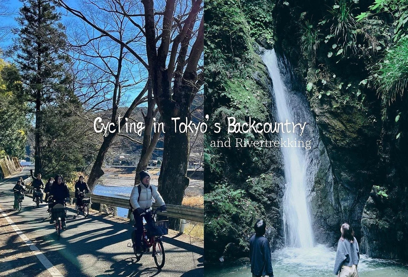
1Day Tokyo Backcountry Okutama with E-bike presented by Viator;
PR Okutama Trail Tour
A Day Trip From Tokyo to Sacred Mt. Mitake to Explore Nature and Spiritual Culture presented by Wabunka;


