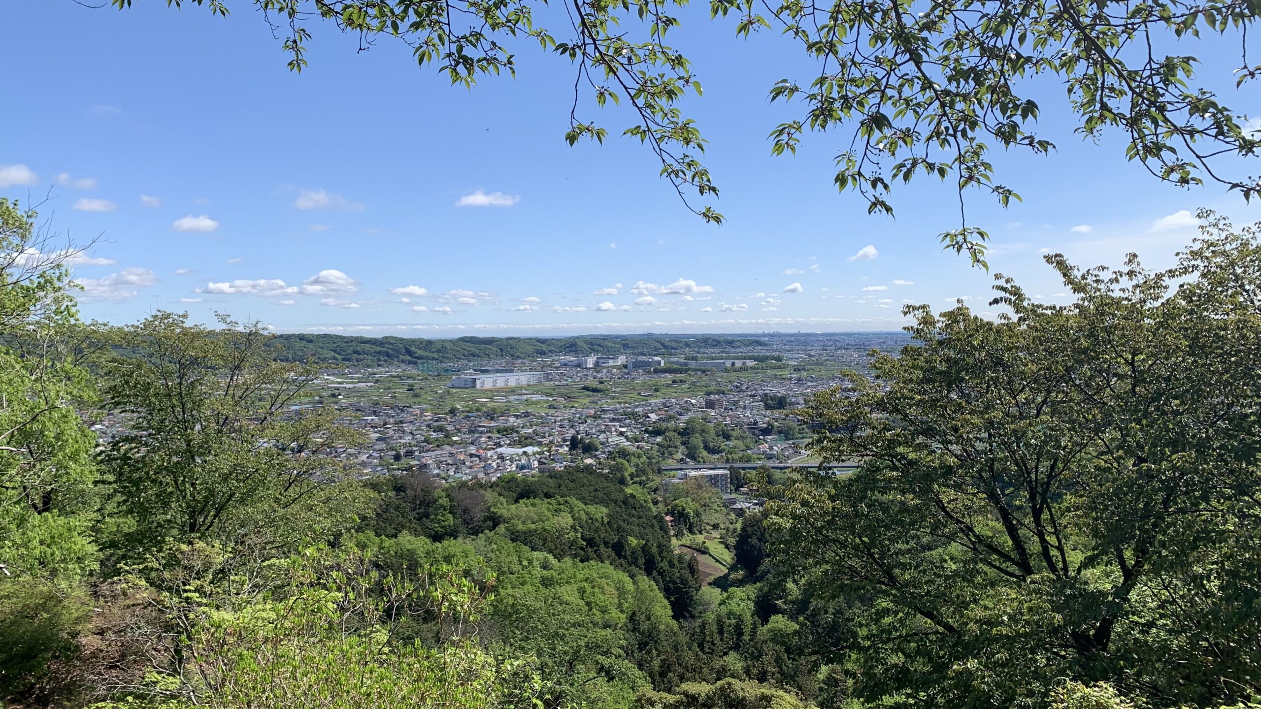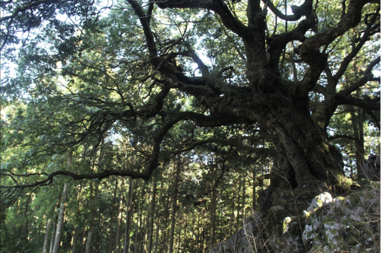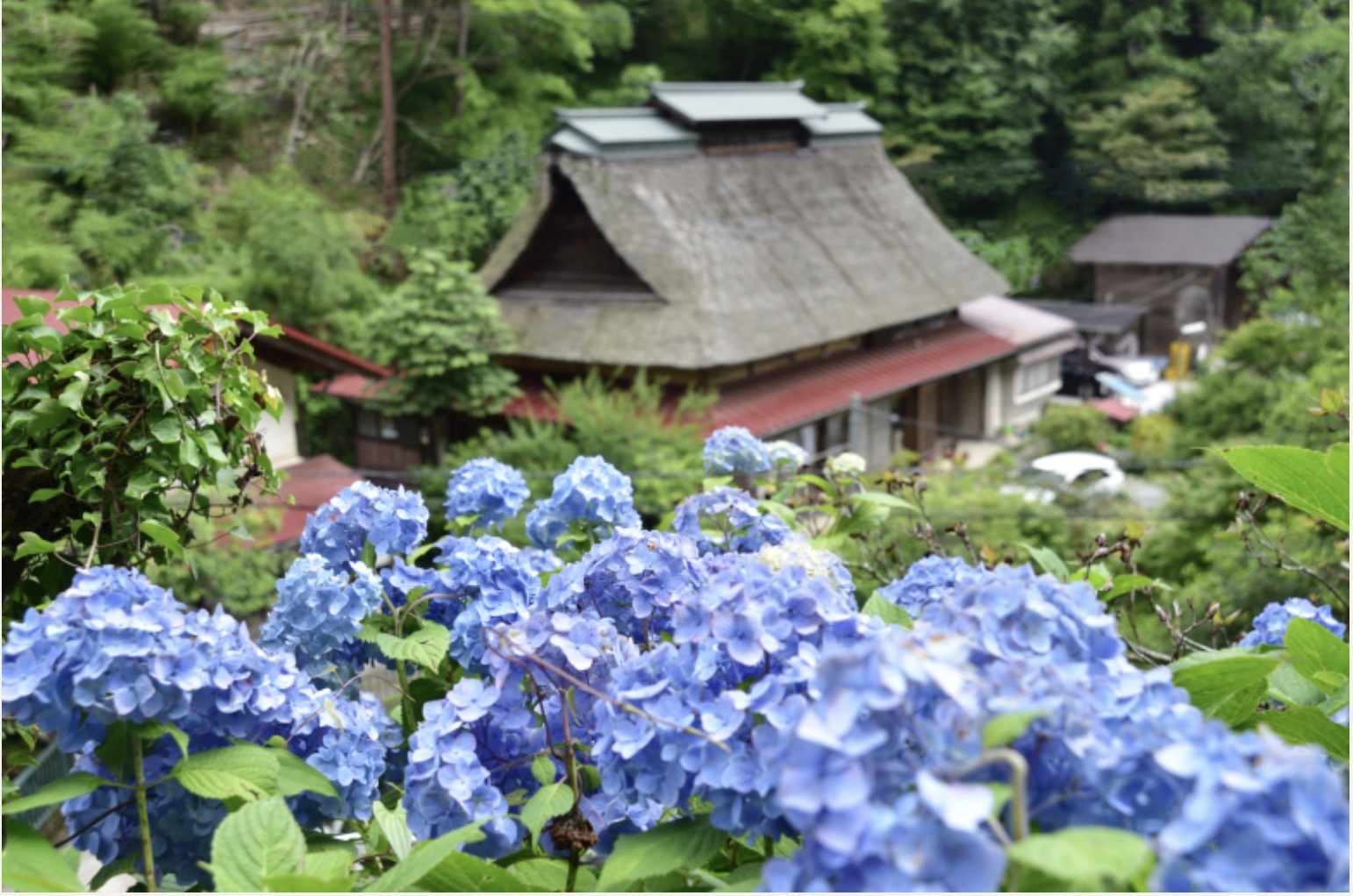
Let me give you a bit more detail about hiking routes about Akigawa Hill. As you walk through the hill, you’ll notice that there are houses nearby and you can even hear the sound of cars passing by, so it’s clear that you’re not deep in the mountains. However, it’s always possible to get lost, and in such a scenario, unexpected situations could arise.
It’s always better to be safe than sorry, so it’s best to take precautions.
In another article, a guide to Akiruno City is provided including information about hiking trails in the area. The mountains here aren’t too deep, and the trails are fairly decent. Along the way, there are signs indicating the route, so getting lost is unlikely. However, once you’re in the mountains, you can’t rely on Google Maps, so I’d like to provide a bit more detailed route information just in case.
Just a quick note before we get into the route information.
Points to keep in mind when hiking up;
If you’re planning to hike, it’s advisable to make some basic preparations:
– It’s better to wear clothing that allows easy movement rather than everyday attire.
– Slip-resistant hiking shoes are recommended for footwear.
– Use a backpack that leaves your hands free.
– Since you’ll sweat, clothing made from materials other than cotton is better.
– Rain gear should include both a waterproof jacket and pants.
– Don’t forget to bring a water bottle or something similar for staying hydrated!
In addition, don’t forget to check the weather forecast before you head out, and of course, it’s a good idea to steer clear of hiking on rainy days. Be extra careful, if it rained the day before. The steep slopes on mountain trails can get pretty slippery, making accidents more likely.
PR
Watch out for bears — make sure everyone has a bear bell with Silencer, Carabiner & Whistle!
PR
Watch out for bears — have bear spray ready just in case!
Point ❶: Start from Musashi Masuko Station
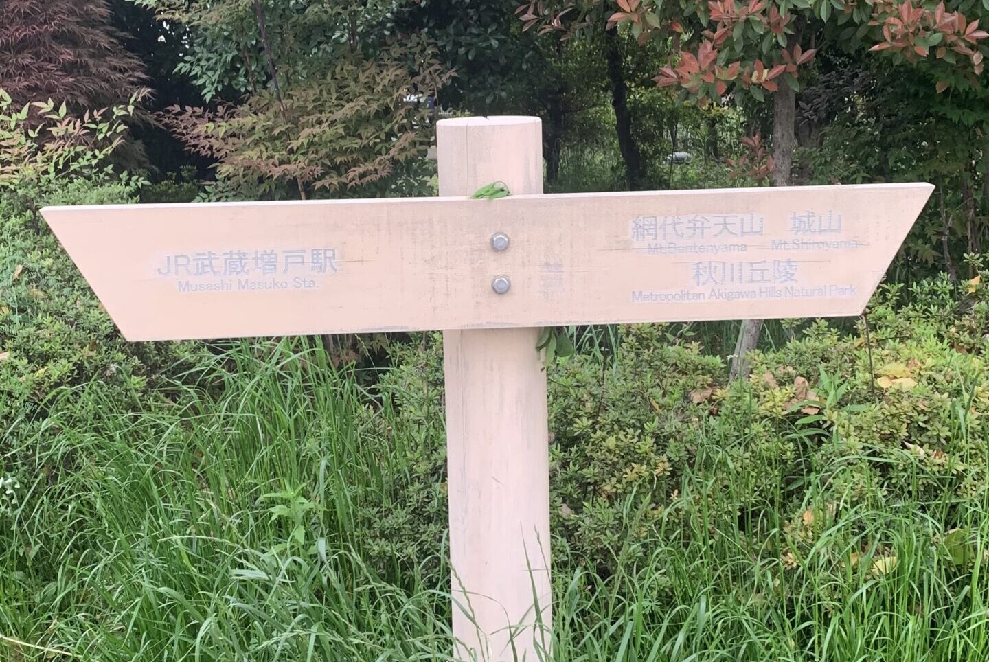
Once you get off at Musashi Masuko Station (marked as ❶ on the map) on the Itsukaichi Line, head down the slope that starts from the station until you see a traffic light. If you spot an arrow like the one in the photo on the left side, you’re on the right track. (The text may be faded and hard to read, but it indicates the direction of Mt. Ajiro Benten Yama.) Take a left turn here and continue down the slope to reach Yamada Ohashi Bridge.
Point ❷: Cross Yamada Ohashi Bridge
It’s about a 15-minute walk from the station to the bridge (marked as ❷ on the map).
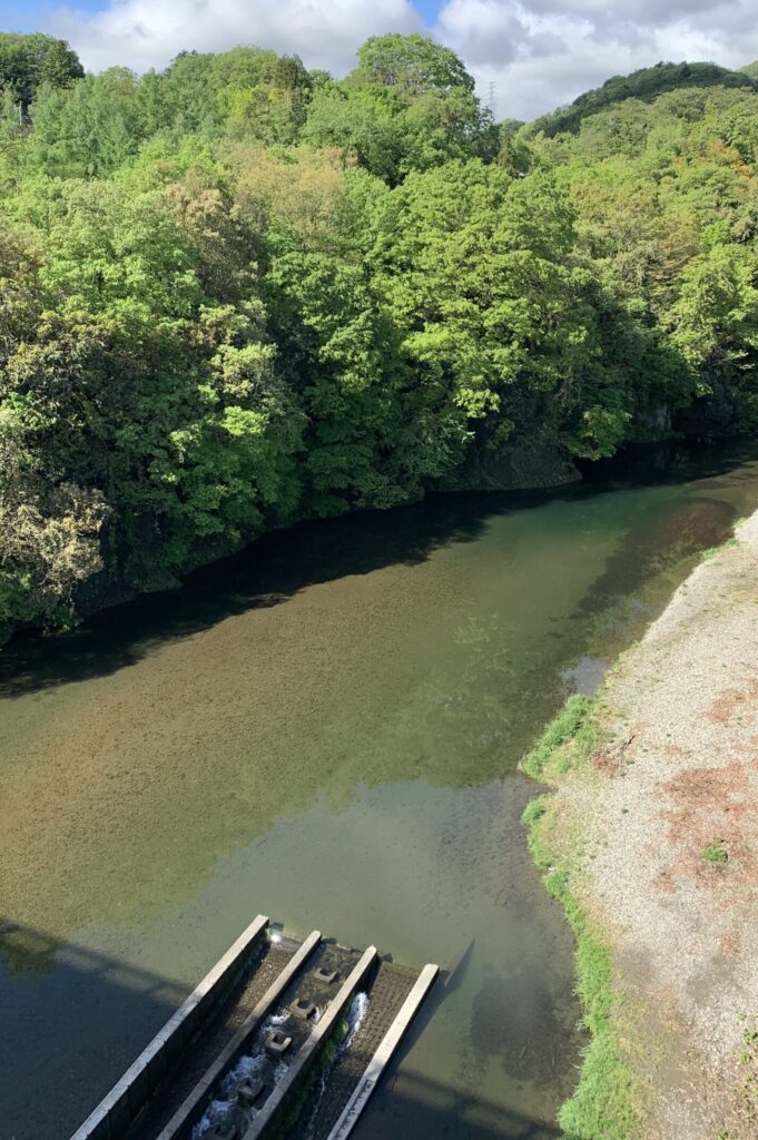
Let’s cross the Yamada Ohashi Bridge! From up there, you can enjoy the beautiful scenery of the Akigawa Valley, making it a great spot for taking photos too.
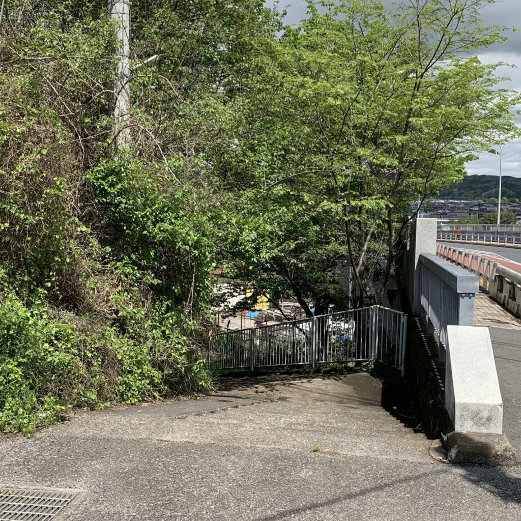
Once you cross the bridge, let’s head down the stairs on the right. Once you descend the stairs, simply cross the road and continue straight ahead.
Point ❸ Start of Mountain Trail: Torii Gate
It takes about 30 minutes to walk from the bridge to the Torii Gate, located at the entrance of the mountain trail.
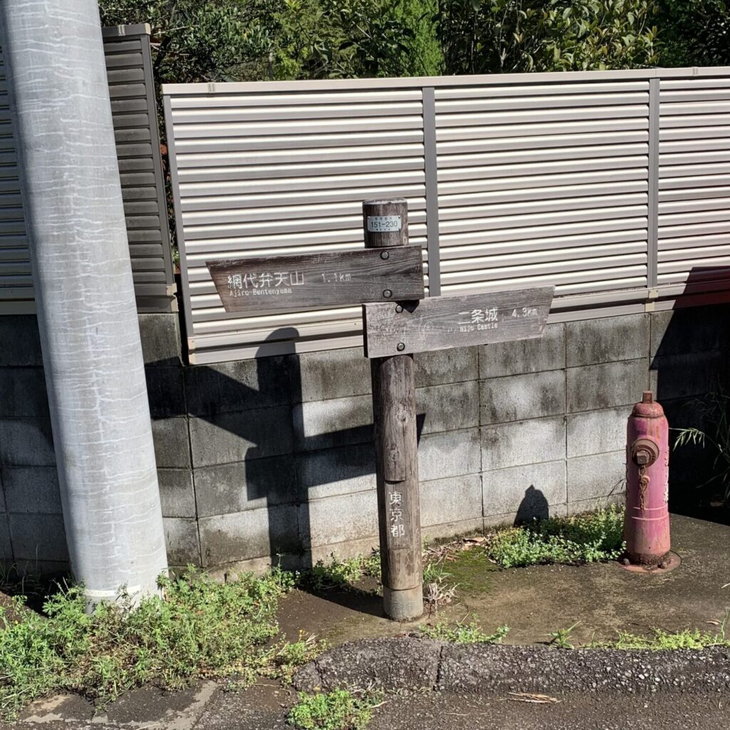
Along the way, you’ll come across first arrows like the one in the photo. Let’s follow the arrow and head towards Mt. Ajiro Benten Yama!
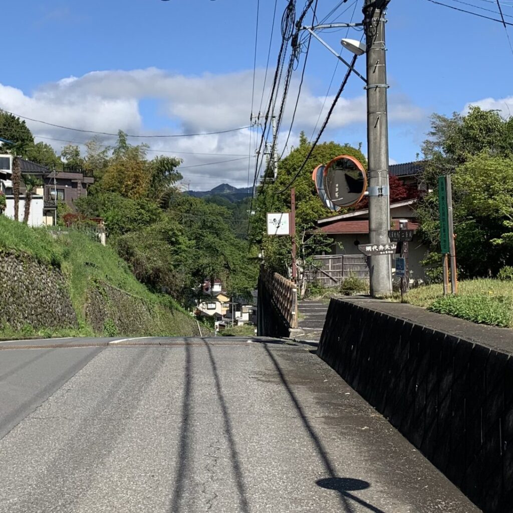
When you see the second arrow, make a left turn, and you’ll be on the mountain trail.
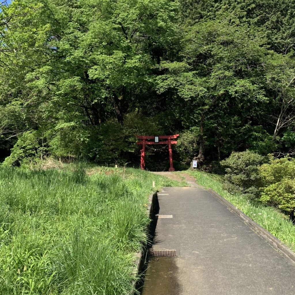
As you turn left and continue, you’ll soon spot a vermilion Torii Gate (marked as ❸ on the map) in the distance. This area around the Torii Gate marks the entrance to the mountain trail, so let’s head up the path to the left of the gate.
Point ❹ Mt. Ajiro Benten Yama
It takes about 30 minutes to walk from the Torii Gate to Mt. Ajiro Benten Yama.
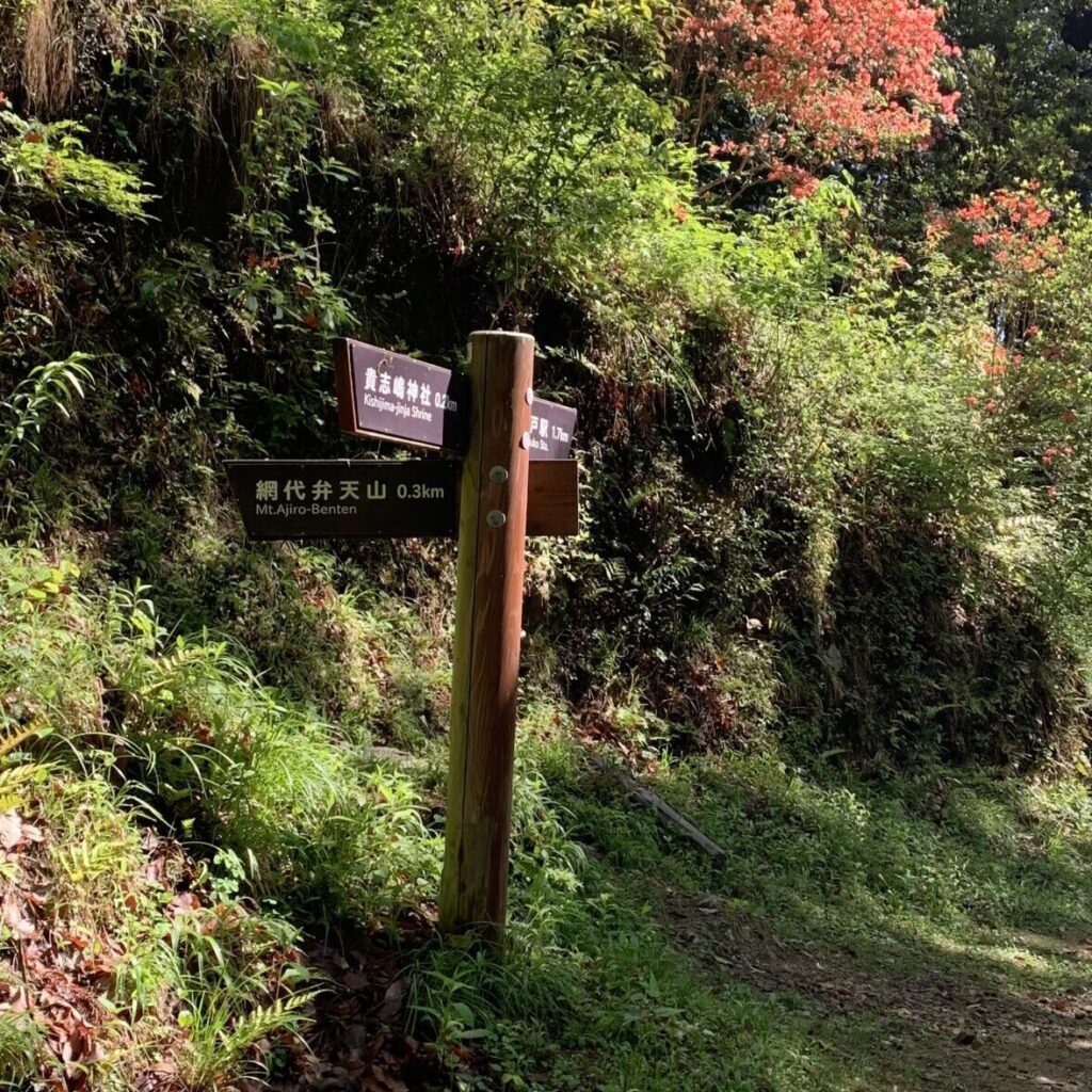
After walking for about 20 minutes, you’ll come across a fork in the road marked by the arrow as shown in the picture. Both lead to Mt. Ajiro Benten Yama, but it is recommended to take the route on the right as you ascend. The left route has quite steep slopes and doesn’t seem to be well-maintained.
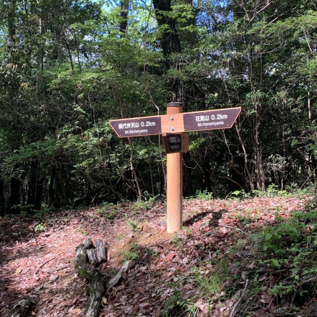
Along the way, you’ll come across a signboard like the one in the photo. If you turn right from here, you’ll reach Mt.Hanamimi Yama, which offers a fantastic viewpoint, so it’s worth making a detour. Just keep in mind that from there, the descent trail is quite steep, so you’ll need to return to this arrow location.
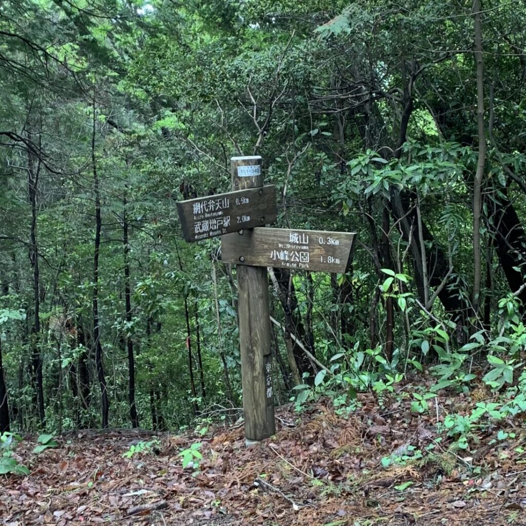
As you proceed along the path, you’ll notice arrows resembling those in the photo. Here, head towards the left, in the direction of Mt. Ajiro Benten Yama. However, when moving from Mt. Ajiro Benten Yama to Shiro Yama, you’ll return to this spot and proceed to the right.
From near the summit, you can see a view like the one in the photo when looking up near the summit. Once you’ve made it to this point, just keep following the uphill path, and you’ll reach the summit in no time!
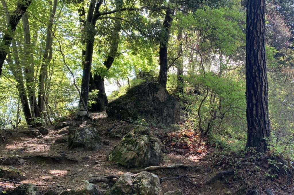
Congratulations! Here’s the view from the summit! (marked as ❹ on the map)
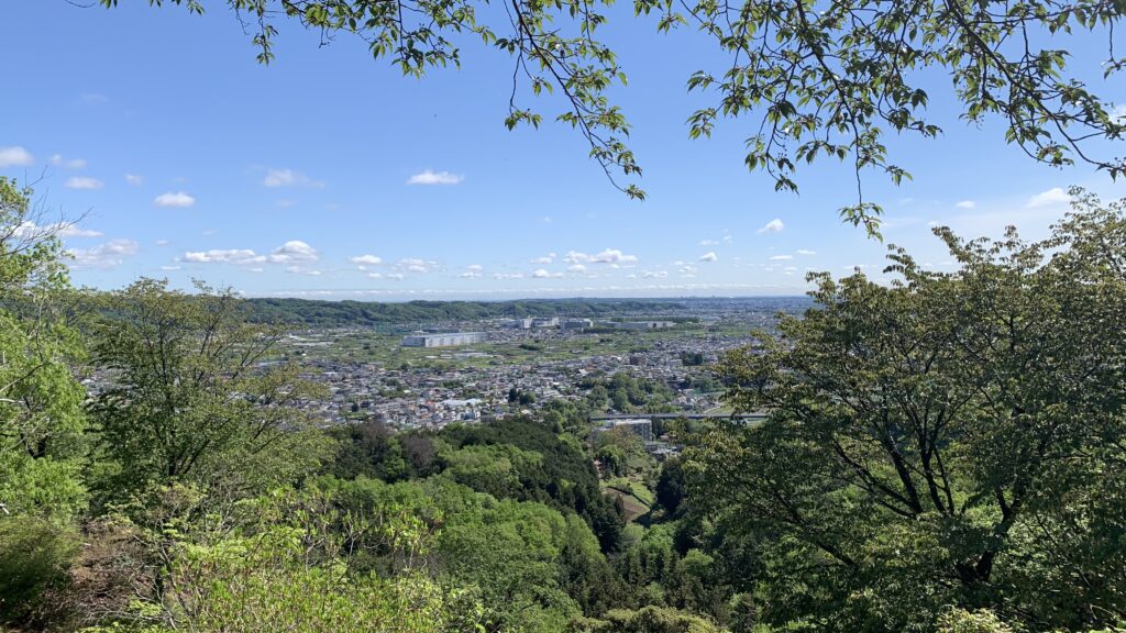
Point ❺: Shiro Yama
It takes about 20 minutes to walk from Mt. Ajiro Benten Yama to Shiro Yama.
Shiro Yama was once used as a mountain castle by local Samurai around the 15th century, but now it’s just one of the peaks, with only its name remaining. Unfortunately, there are no relics left from its castle days.

First, let’s go back from Mt. Ajiro Benten Yama to the arrows indicating the junction we saw earlier, and this time, let’s head to the right.
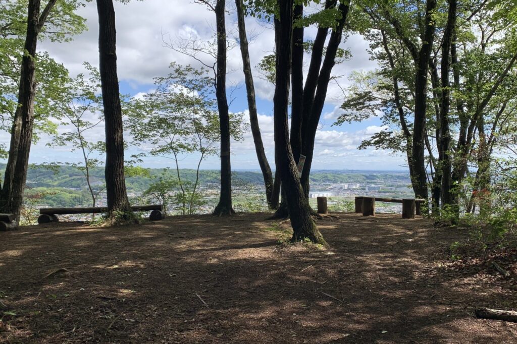
The summit of Shiro Yama (marked as ❺ on the map) is a flat plaza with chairs set up, which doesn’t feel very much like a typical mountaintop, but this is where the remains of the mountain castle are said to be.
Point ❻: Descending to Komine Visitor Center
It takes about 40 minutes to walk from Shiro Yama to Komine Visitor Center.
The descent trail from Shiro Yama to the Komine Visitor Center is tricky, with steep sections reinforced with logs. It’s hard to say whether going up or down is easier, but either way, it’s quite tiring.
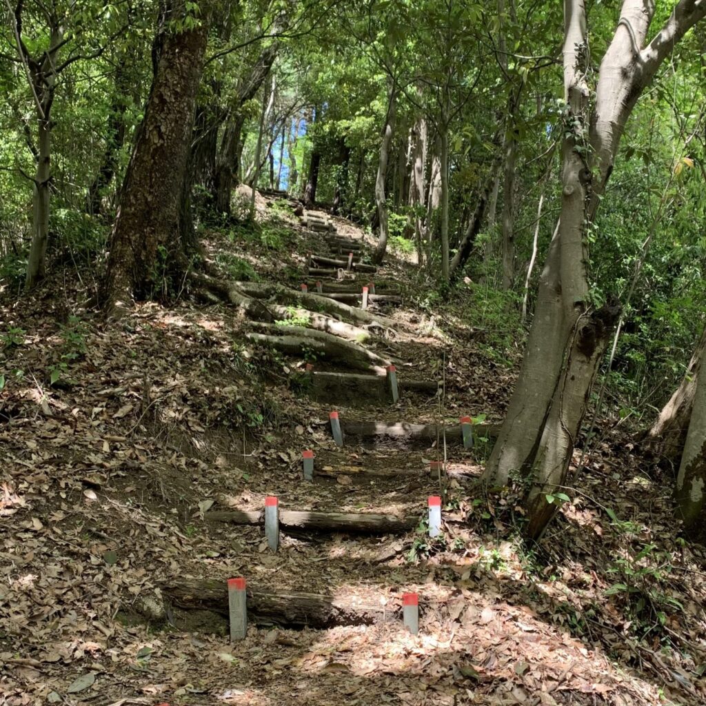
You will encounter arrows like this along the way. Here, head left towards Komine Park. Going right, you can also descend the mountain through an old-fashioned shrine, but it’s quite steep and requires relying on ropes, so it’s probably best to avoid it.
After about 25 minutes of walking, the mountain trail ends and turns into a rural road in the outskirts.
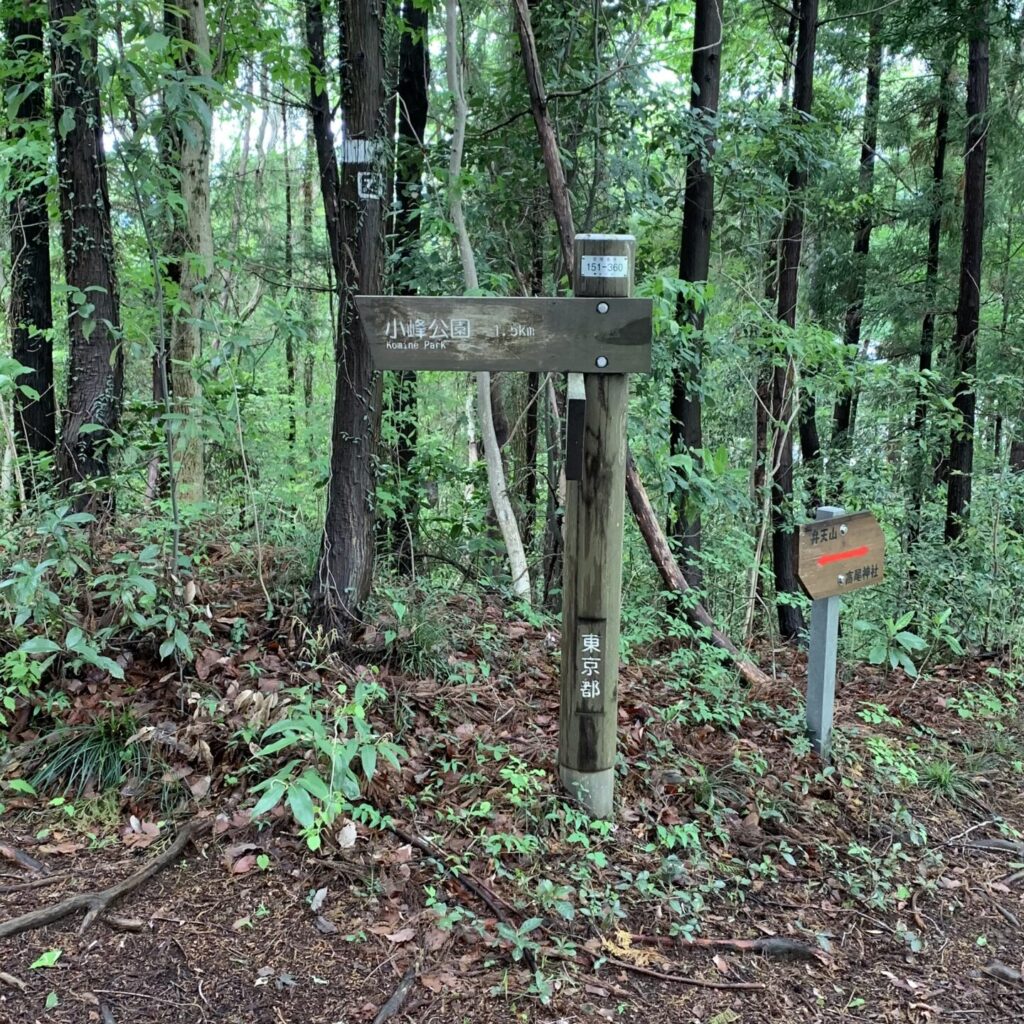
From there, heading west, you’ll reach the endpoint, the Komine Visitor Center in the Komine Park (marked as ❻ on the map).
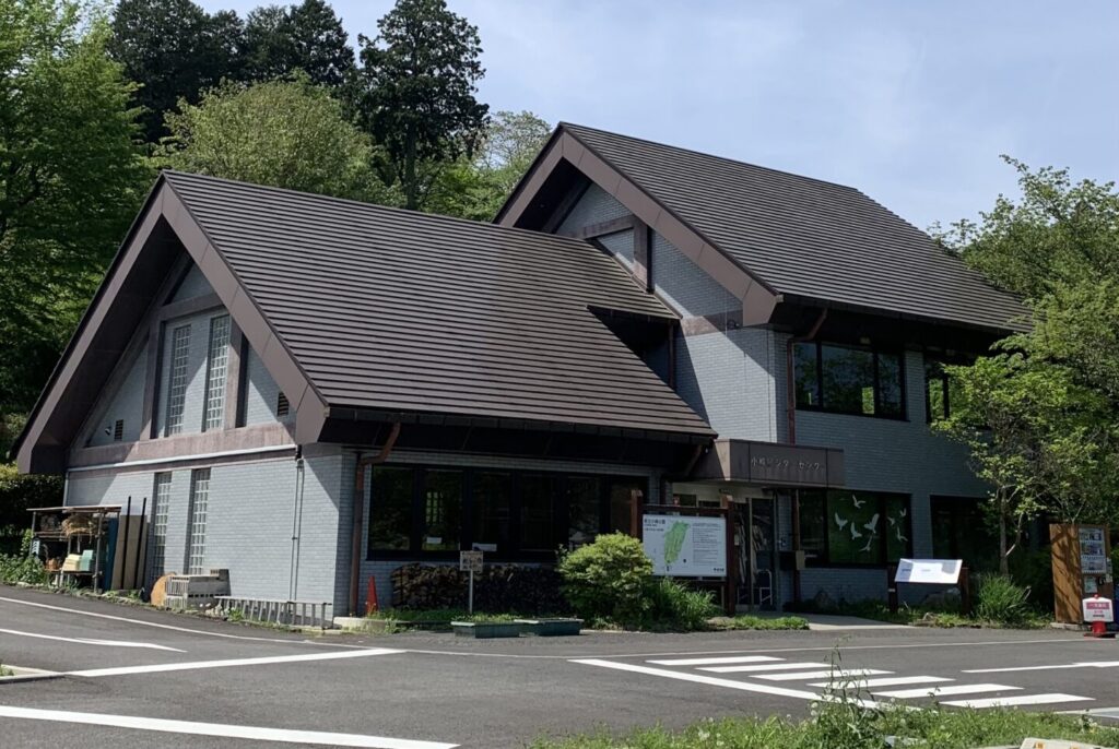
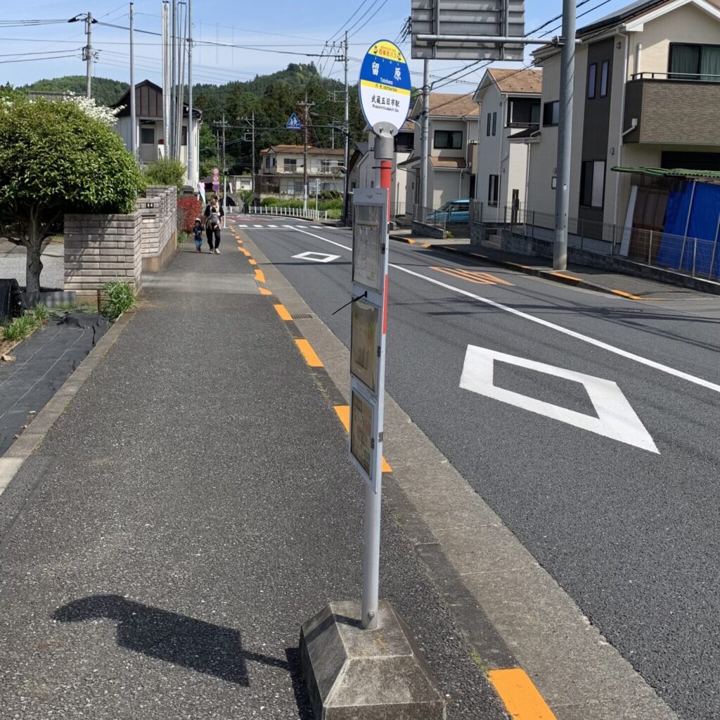
Point ❼: Totohara Bus Stop
From the Komine Visitor Center, the easiest way back is to take a bus to Musashi Itsukaichi Station .
If you head a little north along the road by the Komine Visitor Center, you’ll find the Totohara Bus Stop (marked as ❼ on the map) on the left side of the road. Catching the bus here will take you to Musashi-Itsukaichi Station in about 8 minutes.
However, since the buses run only about once an hour, if you’re still feeling energetic, it’s about a 20-minute walk to Musashi Itsukaichi Station (marked as ❽ on the map) . It might be nice to stroll along the Akigawa River too.
⇒ For strolling around Akiruno City, click here!
⇒ If you want to find other hiking trails in the Okutama Area, click here!
PR Your Stay Choice!
If you’d like to stay in a villa surrounded by nature and explore Akiruno with a local guide presented by Wabunka;
PR Your Stay Choice!
Fushi – A Private Gastronomic Retreat in the Lush, Nature-rich Akigawa Valley presented by Wabunka;
